Thirukkailayam (Kailayam) Sri Kailayam Nodithanmalai – China
Address
Sri Kailayam Nodithanmalai, Thirukkailayam Burang County, Ngari Prefecture, China
Diety
Sivan Amman: Parvathi Devi
Introduction
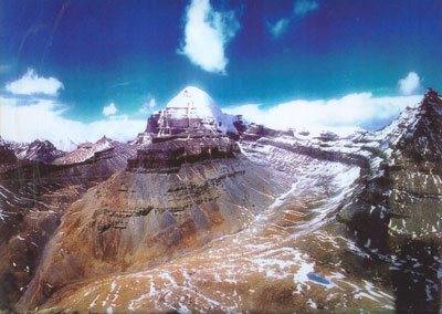
Mount Kailash which forms part of the Transhimalaya in the Ngari Prefecture, Tibet Autonomous Region, China. The mountain is located near Lake Manasarovar and Lake Rakshastal, close to the source of some of the longest Asian rivers: the Indus, Sutlej, Brahmaputra, and Karnali also known as Ghaghara (a tributary of the Ganges) in India. Mount Kailash is considered to be sacred in four religions: Hinduism, Bon, Buddhism, and Jainism. Another local name for the mountain is Tisé mountain, which derives from ti tse in the Zhang-Zhung language, meaning “water peak” or “river peak”, connoting the mountain’s status as the source of the mythical Lion, Horse, Peacock and Elephant Rivers, and in fact the Indus, Yarlung Tsangpo/Dihang/Brahmaputra, Karnali and Sutlej all begin in the Kailash-Lake Manasarovara region.
Puranic Significance
In Hinduism, it is traditionally recognized as the abode of Shiva, who resided there along with his consort goddess Parvati and their children, Ganesha and Kartikeya. In the Uttara Kanda section of the epic Ramayana, it is said that Ravana attempted to uproot the Mount Kailash as retaliation to lord Shiva, who in turn, pressed his right big toe upon the mountain, trapping Ravana in between.This version of lord Shiva is also referred to as Ravananugraha, or favour form to ravana while seated in mount Kailash. According to the epic Mahabharata, it is said that the Pandava brothers, along with their wife Draupadi, trekked to the summit of mount Kailash on their path to liberation, as it is considered to be a gateway to Heaven, also known as Swarga Loka. According to Charles Allen, one description in the Vishnu Purana of the mountain states that its four faces are made of crystal, ruby, gold, and lapis lazuli. It is a pillar of the world and is located at the heart of six mountain ranges symbolizing a lotus.
Special Features
Every year, thousands make a pilgrimage to Kailash, following a tradition going back thousands of years. Pilgrims of several religions believe that circumambulating Mount Kailash on foot is a holy ritual that will bring good fortune. The peregrination is made in a clockwise direction by Hindus and Buddhists, while Jains and Bönpos circumambulate the mountain in a counterclockwise direction. The path around Mount Kailash is 52 km (32 mi) long. Some pilgrims believe that the entire walk around Kailash should be made in a single day, which is not considered an easy task. A person in good shape walking fast would take perhaps 15 hours to complete the entire trek. Some of the devout do accomplish this feat, little daunted by the uneven terrain, altitude sickness and harsh conditions faced in the process. Indeed, other pilgrims venture a much more demanding regimen, performing body-length prostrations over the entire length of the circumambulation: The pilgrim bends down, kneels, prostrates full-length, makes a mark with his fingers, rises to his knees, prays, and then crawls forward on hands and knees to the mark made by his/her fingers before repeating the process. It requires at least four weeks of physical endurance to perform the circumambulation while following this regimen. The mountain is located in a particularly remote and inhospitable area of the Tibetan Himalayas. A few modern amenities, such as benches, resting places, and refreshment kiosks, exist to aid the pilgrims in their devotion. According to all religions that revere the mountain, setting foot on its slopes is a dire sin. It is a popular belief that the stairways on Mount Kailash lead to heaven.Because of the Sino-Indian border dispute, pilgrimage to the legendary abode of Shiva was stopped from 1954 to 1978. Thereafter, a limited number of Indian pilgrims have been allowed to visit the place, under the supervision of the Chinese and Indian governments either by a lengthy and hazardous trek over the Himalayan terrain, travel by land from Kathmandu or from Lhasa where flights from Kathmandu are available to Lhasa and thereafter travel over the great Tibetan plateau by car. The journey takes four night stops, finally arriving at Darchen at an elevation of 4,600 m (15,100 ft), a small outpost that swells with pilgrims at certain times of the year. Despite its minimal infrastructure, modest guest houses are available for foreign pilgrims, whereas Tibetan pilgrims generally sleep in their own tents. A small regional medical center serving far-western Tibet and funded by the Swiss Ngari Korsum Foundation was built here in 1997. Walking around the mountain—a part of its official park—has to be done on foot, pony or domestic yak, and takes some three days of trekking starting from a height of around 15,000 ft (4,600 m) past the Tarboche (flagpole) to cross the Drölma pass 18,200 ft (5,500 m), and encamping for two nights en route. First, near the meadow of Dirapuk gompa, some 2 to 3 km (1.2 to 1.9 mi) before the pass and second, after crossing the pass and going downhill as far as possible (viewing Gauri Kund in the distance).
Festivals
Maha Sivarathiri.
Century/Period/Age
2000-3000 years old
Managed By
Government of China
Nearest Bus Station
Tibetan
Nearest Railway Station
Rishikesh
Nearest Airport
Dehradun
Videos
Related Posts
Sri Ram Bodha Hanuman Temple, Srilanka
Ramnagar Kothandaramaswamy Temple, Coimbatore
Devangudi Kothandaramasamy Temple, Tiruvarur
Chengalpattu Sri Kaniyazhi Anjaneyar Temple
Shri Damodar Temple, Goa
Shingnapur Shani Stone Temple, Maharashtra
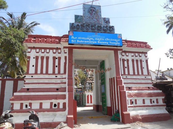
Halasuru Subrahmanya Swamy Temple, Karnataka
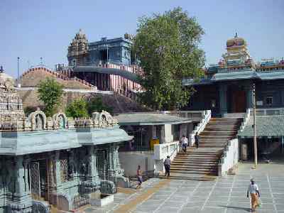
Uttara Swamimalai Temple, New Delhi
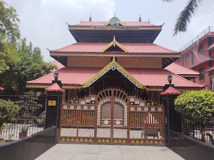
Uttara Guruvayurappan Temple, New Delhi